Request a Flood Zone Determination
A Flood Zone Determination is a process that determines which flood zone applies to a specific property. It is a crucial step in understanding the flood risk associated with a property and determining the necessary flood insurance coverage.
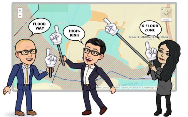
How is a Flood Zone Determination Made?
A Flood Zone Determination is typically made by a Determinator, who uses various maps and data sources, including:
- FEMA’s flood maps
- County parcel maps
- Aerial photography
- Other maps and data
The Determinator analyzes these sources to determine which flood zone is applicable to the property. The flood zone is then used to determine the flood risk and insurance requirements for the property.
Privacy and Communication Consent
We respect your privacy. Your information will never be sold or given to anyone else, except as necessary for the purpose of shopping for flood insurance on your behalf.
We are paperless. By submitting, you consent to receive texts and emails from Better Flood and Your Flood Nerds regarding your quote, policy details, and relevant flood updates. Occasionally, we’ll also share tips for making time with family more enjoyable. Remember, you retain the right to opt in or out of these communications at any time, ensuring you have full control over the information you receive from us.
Here is a link to the terms of use and privacy policy.